About The Arizona Strip
An independent guide to the wild country between the Grand Canyon and the Utah line.
Why This Site Exists
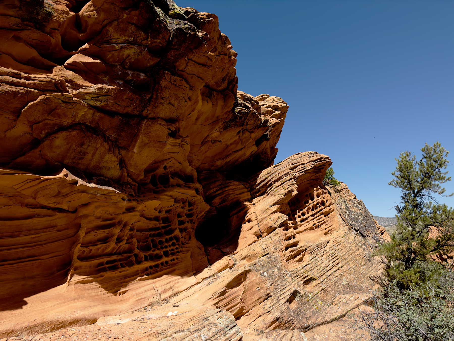
The Arizona Strip is the loneliest corner of Arizona — the high desert and plateau country cut off from the rest of the state by the Grand Canyon. To reach it from Phoenix or Flagstaff you have to leave Arizona entirely and come back in through Nevada or Utah. That isolation is exactly what makes it special, and exactly why reliable information about it is so hard to find.
This site exists to fill that gap. We gather practical, accurate information about the Strip's communities, its public lands, and the people who live and travel here — the kind of detail that usually lives scattered across agency websites, county pages, and word of mouth.
What You Will Find Here
Community profiles — who lives on the Strip and in its gateway towns, from Mesquite and Beaver Dam to Colorado City, Fredonia, and Kanab.
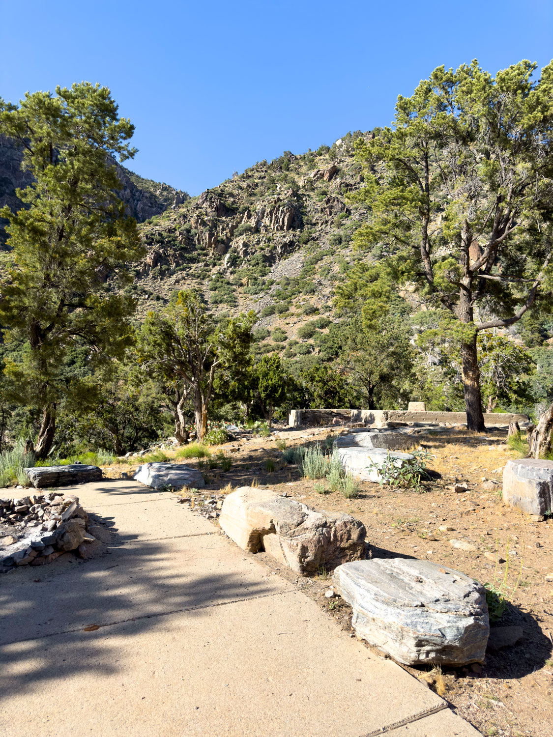
Recreation guides — hiking, camping, off-roading, and fishing across BLM, Forest Service, and Park Service land, with the safety context this remote country demands.
Landmark overviews — Toroweap, Vermilion Cliffs, the Kaibab Plateau, Grand Canyon-Parashant, and the routes that connect them, each linked to its official land-management page.
We are an independent publication. We are not affiliated with the BLM, the National Park Service, or any government agency, and conditions in this country change fast — always verify current road, weather, and permit information with the managing agency before you travel. If you spot something out of date, tell us and we will fix it.
Who Writes This Guide
This guide is written and photographed by Dustin Berg, author of All Around Mesquite: History, Trails & Destinations (Desert Covenant Books). Dustin settled in Mesquite in 2019 and has spent years exploring the backroads, trails, and small towns of the Arizona Strip and the wider tri-state region — much of it by UTV, camera in hand.
The Arizona Strip is his free, continually updated web companion to that work: a place to get the lay of the land — the communities, landmarks, and routes — before you point a vehicle at the horizon. Where the book is a keepsake history, this site is the practical, evolving field guide. For the full printed history-and-trails collection, see the book.