Old Spanish Trail
The 19th-century trade route between Santa Fe and Los Angeles that threaded the Virgin River country.
A 1,200-Mile Pack Trail That Crossed Right Through Here
The Old Spanish National Historic Trail was never a road in the modern sense. It was a rugged network of pack-mule routes linking Santa Fe, New Mexico with Los Angeles, California, and for a few decades in the 1800s it carried woolen goods, horses, mules, and traders across some of the harshest country in the American Southwest. One of its branches threaded directly through the Virgin River corridor, passing near present-day Mesquite on its way across the Mojave.
What makes the trail worth seeking out today is exactly what made it brutal back then: there were no wagons. Loads moved on the backs of animals because the terrain was too broken, too dry, and too steep for wheels. Travelers strung mule trains across waterless stretches between springs, timing the journey to avoid the worst of the desert heat. The result was less a single path than a braid of routes that shifted with water, weather, and who you were trying to avoid.
1776, Escalante, and the Spanish Roots of the Route
The story behind the trail reaches back to 1776 — the same year the eastern colonies were declaring independence. While that revolution played out on the Atlantic seaboard, a Spanish expedition led by the friar Silvestre Velez de Escalante was pushing into the unmapped interior of the Southwest, searching for an overland link between New Mexico and the missions of California.
That expedition never completed the connection, but it charted country no European had documented and leaned heavily on the knowledge of the Indigenous peoples who already lived along these rivers. The Virgin River and the Colorado became the lifelines that later travelers followed, the way coastal settlers had once depended on the sea. It would be another half-century before traders turned those scattered explorations into a working commercial route — the version of the trail commemorated locally as dating to 1829.
Where to Stand on the Trail Today
The most accessible place to connect with this history is in downtown Mesquite, where Nevada State Historical Marker No. 31 stands just outside the Virgin Valley Heritage Museum. The marker recognizes the town's spot on the route and ties the local stretch of trail to that 1829 commercial era. The museum itself is a good first stop for context before you go looking for the trail on the ground.
Tracing the actual path takes more effort, and a realistic set of expectations. In places, generations of mules and horses wore grooves into the soft sandstone that are still faintly readable in the rock — but these traces are subtle, scattered, and easy to walk past without a guide or a good map. Treat any visible ruts as fragile historical evidence: photograph them, don't disturb them.
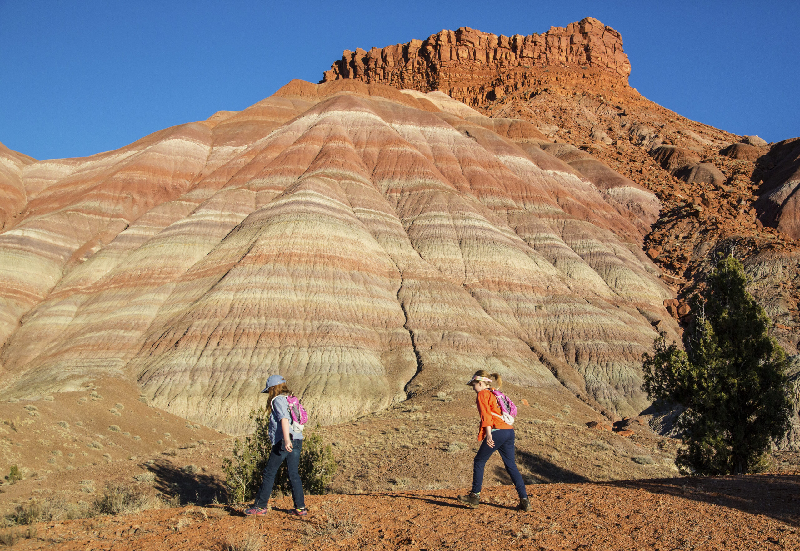
The broader landscape gives you the next-best thing. Drive the desert basins and river benches between Mesquite and Beaver Dam, or look out over the country toward Gold Butte, and you're seeing essentially what the pack trains saw: open Mojave, distant ranges, and the green thread of the Virgin River that made the crossing survivable.
Treasure Legends and the Cultures That Crossed Here
Few Western trails attract as much folklore as this one. Local lore links the route to caches supposedly hidden by the Knights of the Golden Circle, to the legendary cities of Cibola, and even to the fabled treasure of Montezuma — stories that have drawn prospectors and metal-detector hopefuls to these hills for generations. Nearby Pottery Hill, in the country below the Virgin Mountains, is known for genuine scatters of Native pottery, a reminder that people lived and traded along these corridors long before any Spanish friar arrived.
The trail's later chapters are sobering as well as romantic. After 1848, Mormon settlers established towns up and down this corridor, reshaping its trade and, in the process, becoming entangled in the trafficking of Native people that shadowed the route's commercial heyday. Understanding the Old Spanish Trail means holding all of it at once: exploration and exploitation, commerce and conflict, the many cultures that converged on a single hard road.
- Conquistador and Spanish-era exploration — the 1776 search for a route to California
- Indigenous trade networks — paths and water sources that predated the Spanish by centuries
- The commercial pack-trade era — traders moving goods between Santa Fe and Los Angeles
- Mormon settlement after 1848 — towns, trade, and a fraught social legacy
Plan Your Visit
This is desert country, and the trail's whole reason for existing — water is scarce, distances are long — still governs how you should approach it.
- Best seasons: Spring and fall are far more comfortable. Summer temperatures across this stretch of the Mojave regularly climb past 100 F; midday hiking in July or August is a genuine hazard.
- Water and fuel: Carry more water than you think you need, and top off your tank in Mesquite or another town before heading into remote areas. Services thin out fast once you leave the I-15 corridor.
- Easy access vs. backcountry: The historical marker and Virgin Valley Heritage Museum in downtown Mesquite require no special preparation. Hunting for trail traces on the ground means rough roads, route-finding, and respect for private and protected land.
- Leave it as you found it: Trail ruts, pottery, and artifacts are protected. Look, photograph, and leave everything in place — collecting is illegal on public land.
Use the museum and marker as your anchor, then explore the surrounding Virgin River communities to feel how a remote pack route shaped the towns that grew up along it.
Plan Your Trip Around the Strip
Base your trip in one of the region's gateway communities.