Fredonia, Arizona
The eastern gateway to the Arizona Strip and the closest Arizona town to the Grand Canyon's North Rim country.
Why Fredonia Matters on the Arizona Strip
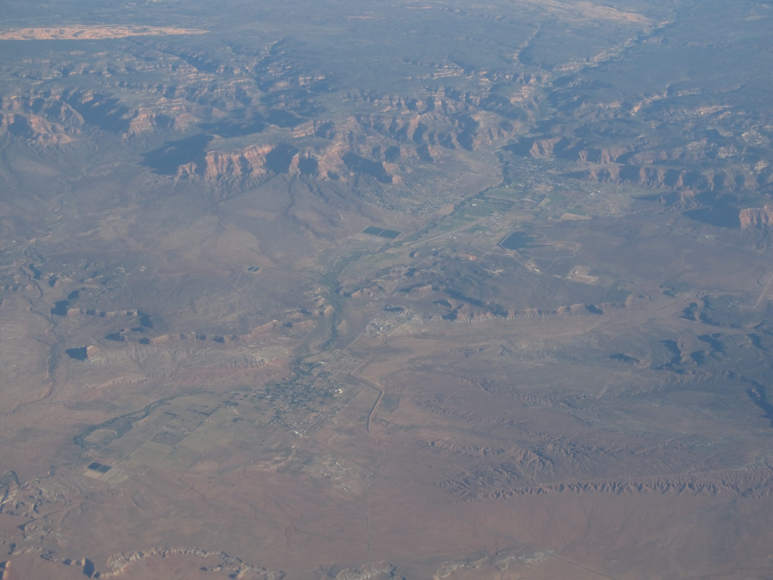
Fredonia is the easternmost town on the Arizona Strip and, for most travelers, the practical doorway to the high country. It sits where State Route 389 meets US 89A, the junction that decides whether you head west across the lonely Strip toward Pipe Spring and beyond, or south and up onto the forested Kaibab Plateau on your way to the Grand Canyon's North Rim.
Like the rest of the Strip, Fredonia is cut off from the bulk of Arizona by the Colorado River and the canyon itself. There's no quick road south to Flagstaff or Phoenix from here. That isolation is exactly what makes the town useful: it's the last Arizona stop with services before you commit to long, remote drives, and it pairs naturally with its larger Utah twin just up the road. See how it fits among the region's other Strip communities.
A Crossroads Town with Timber and Ranching Roots
Fredonia grew up as a small ranching and timber community, shaped by its position at the foot of the Kaibab Plateau. The plateau's ponderosa forests gave the area a working relationship with lumber that most of the surrounding desert never had, while cattle ranching tied it to the same hardscrabble Strip economy you'll find documented across the region's old homesteads and springs.
Today it remains a quiet, low-rise town rather than a tourist resort, which is part of its appeal. You come through Fredonia for what's around it, and the town earns its place as a refueling and resupply point between the desert to the west and the forest to the south.
Pipe Spring National Monument — Just Down SR 389
The closest marquee attraction is Pipe Spring National Monument, a short drive west of Fredonia on SR 389 toward the Kaibab Paiute Reservation. The monument preserves a historic fortified ranch built around one of the few reliable desert springs in this part of the Strip — water was the whole story out here, and Pipe Spring is where you can see how settlers and Native peoples both depended on it.
It's an easy, well-signed stop with a visitor center, living-history demonstrations in season, and a tangible sense of how scarce water dictated who could survive on this land. For visitors basing themselves in Fredonia or nearby Kanab, it's one of the most accessible historic sites on the entire Strip.
Gateway to the Kaibab Plateau and the North Rim
Head south from Fredonia on US 89A and the desert gives way, surprisingly fast, to cool ponderosa pine. You climb onto the Kaibab Plateau, an island of high-elevation forest that feels worlds apart from the sagebrush flats below. This is the route to the Grand Canyon North Rim — the quieter, higher, and more seasonal counterpart to the South Rim.
The plateau is laced with forest roads leading to rim overlooks and fire lookouts; the book notes Fredonia Fire Point among the high lookouts that watch over the ever-changing country below. Drive times are deceptive up here: distances are long, cell service is spotty, and the road to the North Rim entrance climbs and twists. Treat Fredonia as your staging point — top off the tank and grab supplies before you start up.
- North Rim of the Grand Canyon — reached via US 89A south, then State Route 67 through the plateau forest.
- Kaibab National Forest roads — overlooks, fire points, and dispersed exploration across the high country.
- Toroweap / Tuweep area — the Strip's wildest North Rim overlook lies far to the west; see Toroweap for what that remote drive involves.
Fredonia and Kanab: One Practical Hub
Fredonia sits only a few miles from Kanab, Utah, and in practice the two function as a single hub straddling the state line. Kanab is the larger commercial center — known for its red-rock setting, deep filmmaking history, and its own role as a Grand Canyon gateway — and it carries most of the lodging, dining, and outfitter options. Many travelers sleep in Kanab and use Fredonia as the point where Arizona, and the Strip proper, begins.
From this shared base you're within reasonable reach of an enormous spread of public land: the Vermilion Cliffs and surreal sandstone country to the east, and the vast, roadless expanse of Grand Canyon–Parashant National Monument stretching away to the southwest.
Plan Your Visit: Seasons, Fuel, and Access
A few realities shape any Fredonia trip:
- Seasons matter most for the North Rim. The high country and the Grand Canyon North Rim are snowbound in winter; the rim and its services typically operate only from late spring through fall. Fredonia itself stays accessible year-round, but plan plateau trips for the warm months.
- Fuel and water before you commit. Fredonia and adjacent Kanab are your last dependable services before long drives west across the Strip or south to the rim. Distances are large and stations are scarce once you leave town.
- Roads vary wildly. US 89A and SR 389 are paved, but the forest and Strip backroads beyond them range from graded gravel to high-clearance and 4WD-only. Carry extra water, a paper map, and don't rely on cell coverage.
- Fees. Pipe Spring National Monument and the Grand Canyon North Rim charge entrance fees; an America the Beautiful pass covers both.
Ready to build an itinerary around the area? Browse regional recreation and landmarks, or get in touch through our contact page.
See the Region's Landmarks
From red-rock monuments to canyon overlooks, the icons of the Strip are close by.