Vermilion Cliffs National Monument
Home of the Wave, White Pocket, and soaring California condors — the Strip's most famous wild country.
A Painted Desert on the Strip's Eastern Edge
Vermilion Cliffs National Monument spreads across nearly 280,000 acres of remote high desert in northern Arizona, where towering red escarpments give way to some of the most photographed sandstone on Earth. Managed by the Bureau of Land Management, it is one of the wildest corners reachable from the Arizona Strip region — a place with almost no services, no paved scenic loops, and no crowds beyond the few who win their way in.
This is backcountry first and a tourist destination second. What draws people is a short list of legendary places: the lottery-only Wave, the unmarked maze of White Pocket, the slot-canyon depths of Buckskin Gulch, and the soaring shadows of reintroduced California condors overhead.
The Wave & Coyote Buttes: Why You Need a Permit
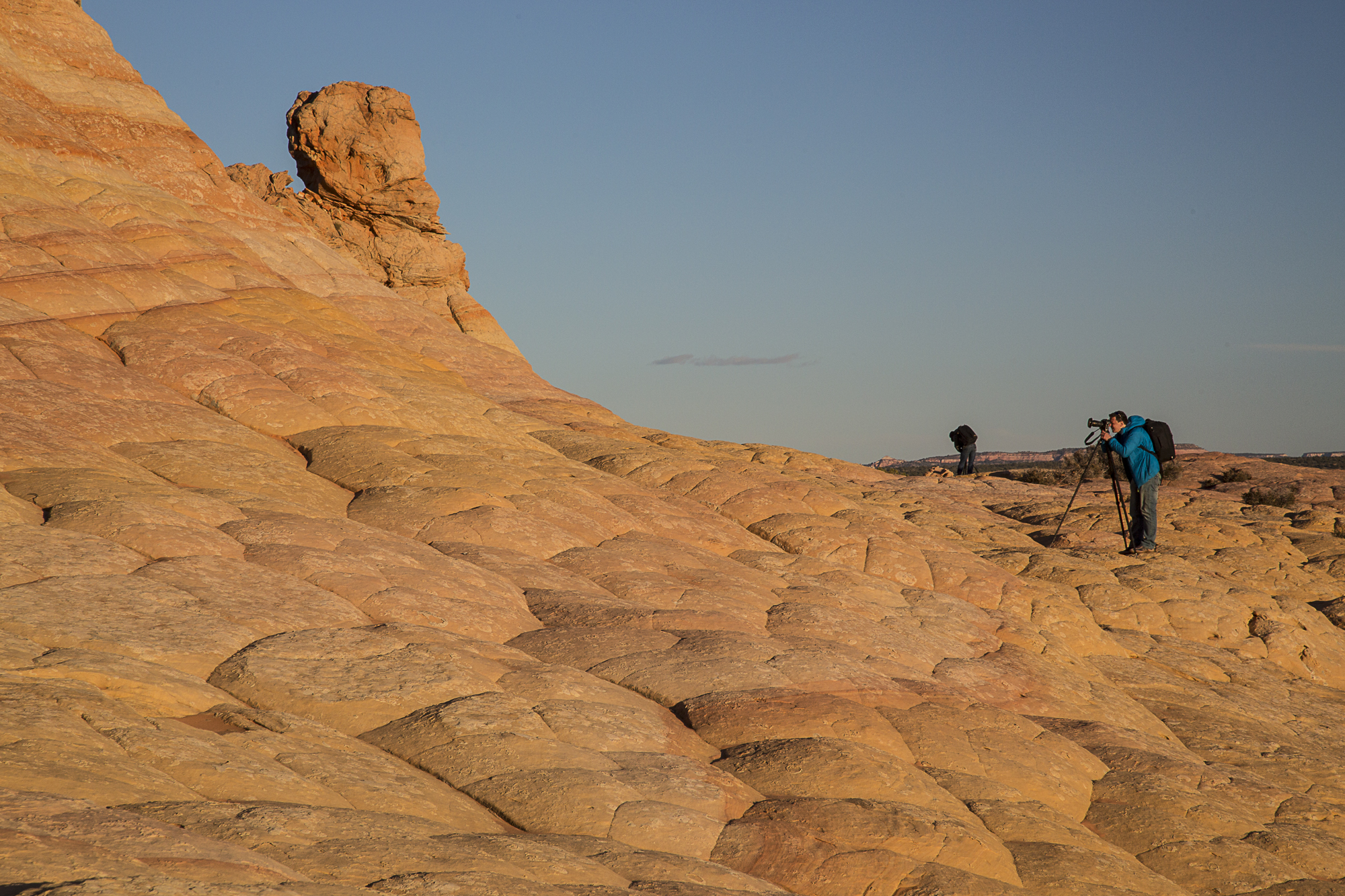
The Wave — that undulating bowl of striped Navajo sandstone you have seen on a hundred screensavers — sits in the Coyote Buttes North permit area. To protect the fragile rock, the BLM strictly caps how many people enter each day, so access is by lottery only. There is no trail, no signage, and no ranger waiting at the trailhead.
A few things every first-timer should understand before pinning their hopes on it:
- Two separate areas, two separate permits. Coyote Buttes North contains The Wave; Coyote Buttes South is a different, equally stunning zone with its own permit. Winning one does not grant the other.
- Demand wildly exceeds supply. Far more people apply than can ever be admitted, so odds on any given day are low. Treat a win as a bonus, not a plan.
- Apply through the official channels only. Permits are issued by the BLM through the federal recreation lottery system. Check current dates, fees, and rules on the official site before you travel — details change.
- No permit, still plenty to see. White Pocket, House Rock Valley, and the Paria River corridor reward visitors who never enter the lottery at all.
White Pocket: The Surreal Alternative
If The Wave is the lottery you probably will not win, White Pocket is the wonder you actually can visit. Tucked into the backcountry within the monument, it is a dizzying swirl of red, white, and pink rock — cauliflower-textured domes and brain-like ridges of sandstone that look as if they were poured rather than carved. No permit is required to walk among the formations.
The catch is the drive. White Pocket sits at the end of deep, soft sand roads with no maintained surface, and getting there reliably calls for a high-clearance four-wheel-drive vehicle, real sand-driving experience, and full self-sufficiency. Many visitors skip the gamble and book a guided tour out of nearby Kanab instead — often the smartest way to see it without burying a rental car miles from help.
House Rock Valley Road & Buckskin Gulch
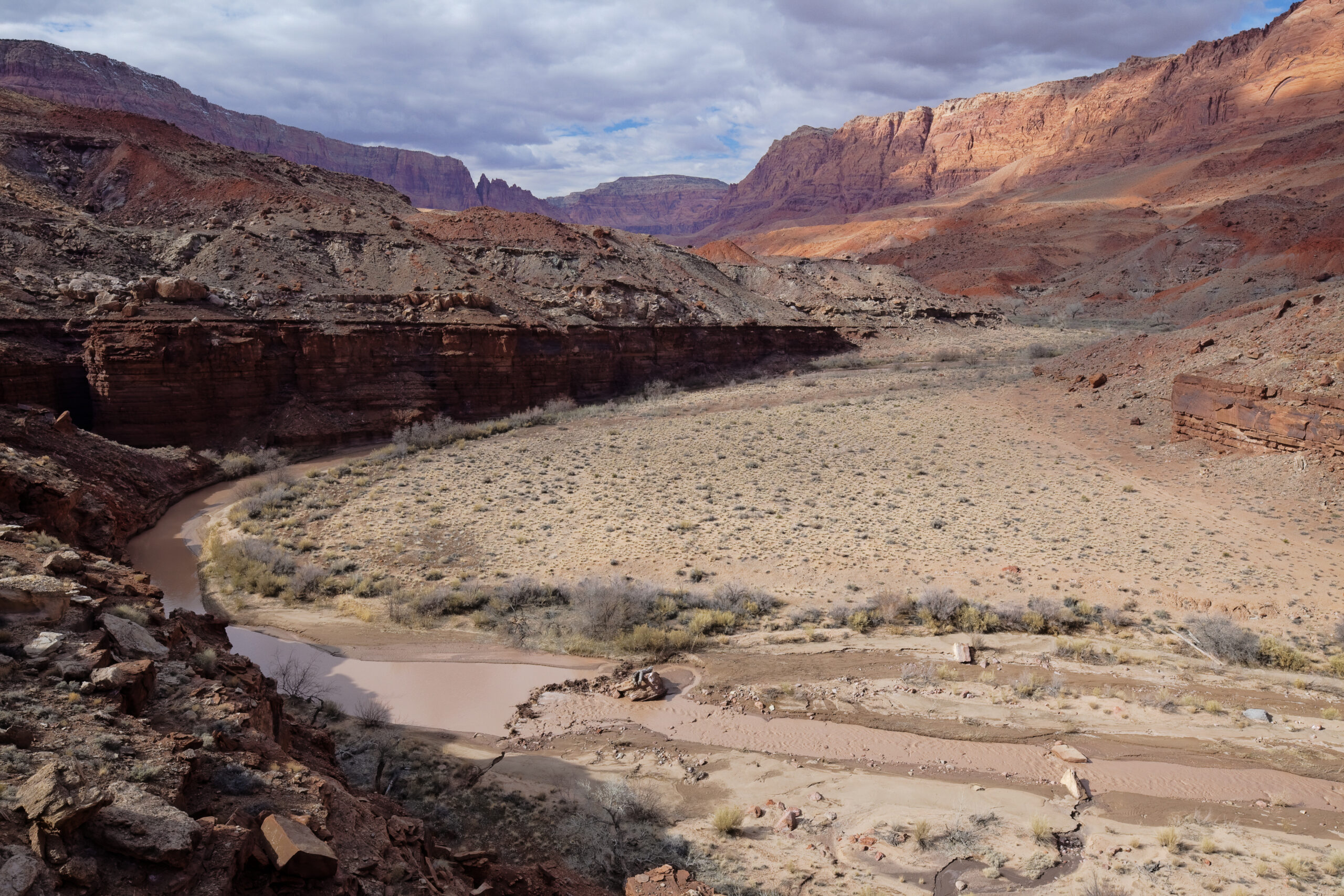
House Rock Valley Road is the dirt artery that threads the western side of the monument and reaches the Coyote Buttes trailheads, Buckskin Gulch, and the Paria River. The valley itself is worth the drive for the scenery alone, opening onto sweeping views toward Buckskin Gulch — one of the longest, deepest slot canyons in the Southwest — and the Paria River that carved this country.
The road is graded dirt, not pavement. It runs reasonably well when dry but turns slick and impassable after rain, and storms upstream can send dangerous flash floods through the slots and the Paria narrows with little warning. Always check conditions and the forecast before committing.
California Condors Overhead
Look up here and you may witness a genuine conservation success story. North America's largest land bird, the California condor, was brought back from the brink of extinction, and the cliffs and rim country around the monument became one of the key reintroduction sites for the species in the Southwest.
With wingspans approaching nine and a half feet, condors are hard to mistake for anything else once they are aloft. The releases here helped reestablish a wild population that now ranges across the broader Grand Canyon region — a living link between the protected land of the monument and the canyon country to the south.
Know Before You Go
Vermilion Cliffs is true backcountry. Plan like it.
- Fuel and water: Carry far more water than you think you need and top off the tank in Kanab or Fredonia — there are no services inside the monument.
- Vehicle: Interior roads demand high-clearance 4WD and sand experience; do not attempt White Pocket in a passenger car.
- Season: Spring and fall are most comfortable. Summer brings extreme heat and monsoon flash-flood risk; winter can leave roads muddy and impassable.
- Permits: The Wave and both Coyote Buttes areas are lottery-only — verify current rules with the BLM before relying on access.
- Cell service: Effectively none. Tell someone your route and expected return.
The country east of here carries deep history too — ancestral Puebloan peoples and, later, pioneer explorers all crossed the broader country traced by routes like the Old Spanish Trail. Planning a trip and want regional advice? Reach out before you head into the Strip.
Plan Your Trip Around the Strip
Base your trip in one of the region's gateway communities.