Grand Canyon-Parashant
A million acres with no paved roads, no visitor center, and no crowds — the wildest public land in the lower 48.
A Million Acres With No Pavement
Grand Canyon-Parashant National Monument is one of the emptiest places left in the Lower 48. Set on the Colorado Plateau north of the Colorado River, it spans more than a million acres of deep canyons, high mesas, and open desert with almost no roads, no services, and almost nobody. President Clinton established the monument in 2000, recognizing both its ecological value and the long Indigenous history of the land. What you find here is the Grand Canyon stripped of the crowds, the shuttle buses, or the railing-lined overlooks.
That emptiness is the whole point, and it is also the warning label. There are no entrance gates, no visitor center inside the monument, no gas, no water, and for long stretches no cell signal. Travel here is closer to a small expedition than a day trip. People who arrive prepared find some of the darkest night skies and most absolute silence anywhere in the Southwest. People who arrive casually find trouble.
How the Monument Is Laid Out
Parashant blankets a huge swath of the western Arizona Strip — the roughly 3.2-million-acre wedge of Arizona that sits north of the Grand Canyon and is cut off from the rest of the state by the river itself. The monument is jointly administered by the Bureau of Land Management and the National Park Service, which is why you will see BLM signage on grazing allotments and airstrips alongside Park Service stewardship of the wilder backcountry.
The land falls into roughly three zones a traveler will notice:
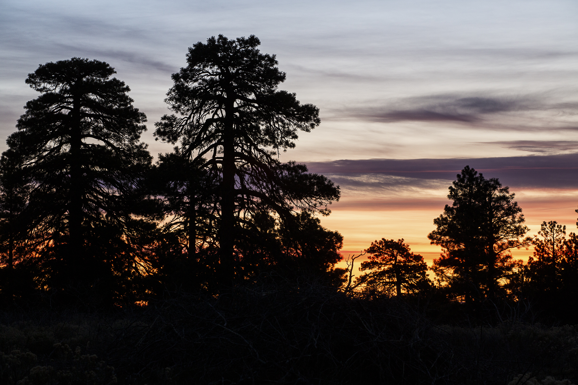
- The high country near Mount Trumbull and the Uinkaret volcanic field — ponderosa and pinyon-juniper at elevation, cooler and greener than you expect.
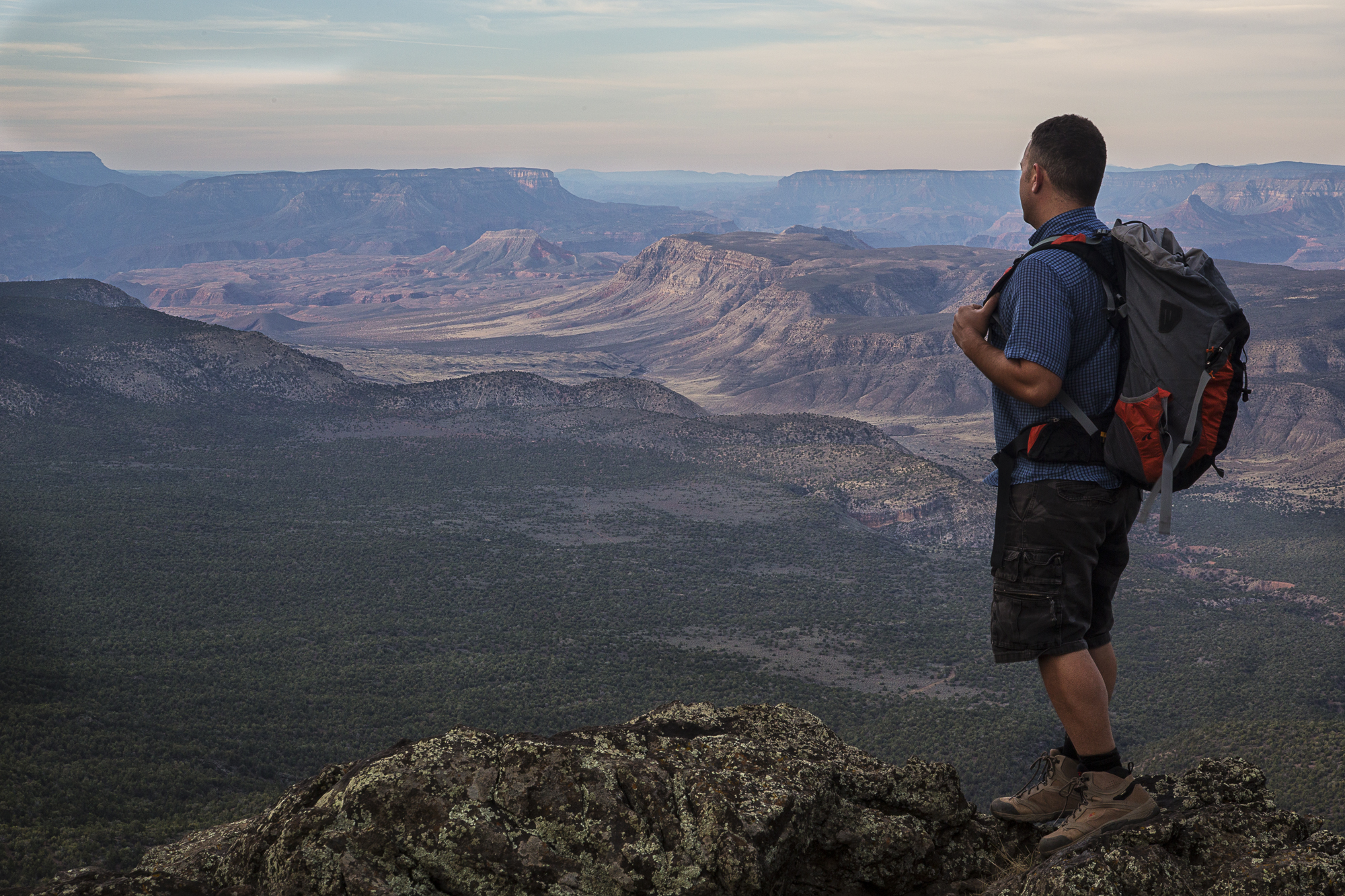
- The canyon rim, where the plateau breaks off into the Grand Canyon proper, including the legendary overlook at Toroweap.
- The Pakoon Basin and Grand Wash Cliffs on the western, Mojave-flavored edge — lower, hotter, dotted with creosote, old ranches, and springs.
Bar 10 Ranch: The Backcountry Basecamp
If Parashant has a hub, it is Bar 10 Ranch, tucked deep in the Strip with the Grand Canyon as its backyard. It still runs as a genuine working cattle ranch, but over the years it has grown into the region's main recreational outpost — the natural start and end point for river trips, fly-ins, horseback rides, and overland adventures. For travelers who want the remoteness without sleeping in their truck, Bar 10 offers a rare bit of hospitality in the middle of nowhere.
It is the kind of place that frames how this monument is meant to be experienced: you base out of a known point, you make a plan, and you head into country where help is hours away. Treat Bar 10, or one of the small ranches and springs scattered across the Strip, as your anchor rather than assuming you can improvise once you are inside.
Pakoon Basin, Whitmore, and the Ranching Past
The western Pakoon Basin is Parashant at its most desolate and most rewarding. The BLM maintains a gravel airstrip here that doubles as a base for wildfire crews — its access roads are built for ATVs and high-clearance trucks, not sedans. Nearby, Pakoon Spring is a genuine desert oasis, a thread of water that pulls in wildlife from miles of dry country. Above it all rises Mud Mountain (5,787 feet), set between Lime Kiln Pass and Black Rock, with a local reputation for feral hogs.
This corner of the monument is layered with frontier history. Tassi Ranch, a 200-acre spread beneath the towering Grand Wash Cliffs, still holds a 1938 stone ranch house shaded by cottonwoods, built around the reliable water of Tassi Springs that drew Native Americans, Mormon traders, and settlers long before. Whitmore Canyon and other historic stock routes carried cattle toward the river in the same era. These ruins are fragile and unprotected — look, photograph, and leave everything exactly where it sits.
Getting There: Roads, Routes, and Reality
There is no quick way in. Most travelers stage out of Mesquite, St. George, or the small communities along the Strip, then commit to many miles of dirt. Conditions change fast: a road that looks well-graded can be transformed overnight by weather.
A good example is Cabin Canyon Road, a popular 4WD route running from Mesquite into the monument. It starts out graded and friendly, but it traverses challenging bedrock sections, and the toughest stretches sit in the higher elevations — the lower portions are usually fine for 2WD with moderate clearance, the upper ones are not. Viewpoints like Tweed Point, which overlooks the Pakoon Basin and Grand Wash Cliffs, are best reached in a short-wheelbase rig with high clearance. If you are coming from the ATV/UTV side, ranches such as Aravada Springs (around 4,200 feet) offer cabins and access to trails reaching into both Parashant and neighboring Gold Butte.
Know Before You Go
This is true expedition travel. Plan it like one:
- Vehicle: High-clearance 4x4 minimum for most routes. Carry a full-size spare (two is smarter), recovery gear, and the tools to use them.
- Fuel and water: Top off in Mesquite or St. George — there is none inside the monument. Bring more water than you think you need, for the vehicle and for you.
- Navigation: Download offline maps and carry paper backups plus a satellite communicator. Cell coverage is unreliable to nonexistent.
- Season: Spring and fall are ideal. Summer in the low Pakoon country is brutally hot; winter and storms turn high-elevation roads to impassable mud.
- Tell someone: Leave a route and a return time with a person who will notice if you don't come back.
There are no fees or gates, but there is also no margin for being unprepared. Plan your loop, build in extra time, and treat the silence as a feature. For more remote routes and trip ideas across the region, see our recreation guide, or get in touch with local questions.
Plan Your Trip Around the Strip
Base your trip in one of the region's gateway communities.