Mesquite, Nevada
The western gateway to the Arizona Strip — resort town, services hub, and basecamp for the Virgin River country.
The Western Gateway, in a Nutshell
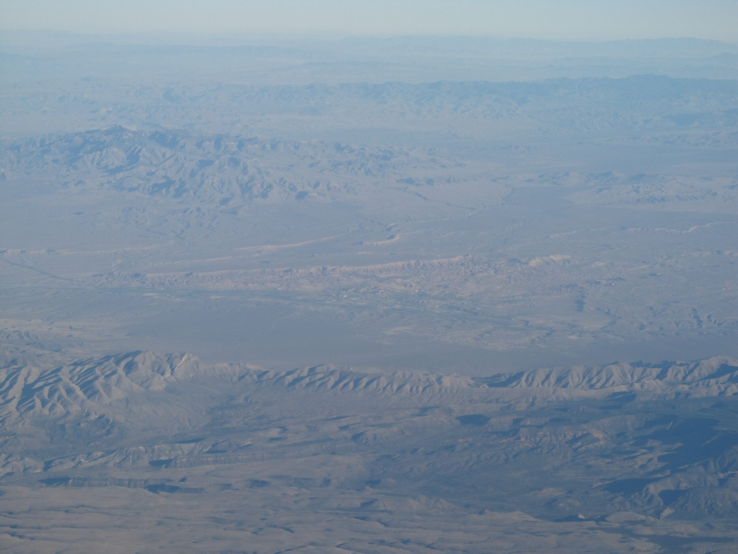
Mesquite sits in the far northeastern corner of Clark County, Nevada, right where Interstate 15 slips between the Mojave's open desert and the rugged hills of the Virgin Mountains. For travelers, it is the easiest, best-served basecamp on the western edge of the Arizona Strip — a place to fill the tank, sleep in a real bed, eat well, and then strike out into hundreds of square miles of public land. Most people know the town for two things: seven championship golf courses and three casino resorts. But that pairing undersells it. Mesquite is also one of the most genuinely OHV-friendly towns in the region, with the Virgin River threading through it and trailheads to Gold Butte and Grand Canyon-Parashant practically in the backyard.
If you are routing a wider trip, Mesquite makes a logical hub. It anchors the Virgin Valley communities alongside Littlefield and Beaver Dam just across the Arizona line, and it puts you within a short drive of Gold Butte National Monument and the dramatic Virgin River Gorge stretch of I-15.
.jpg)
Golf, Casinos & an Easy Place to Land
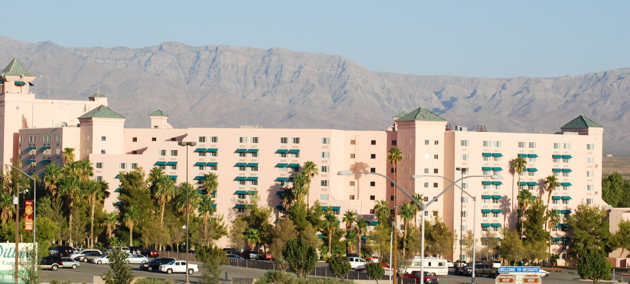
The local pitch is hard to argue with: a golfer's paradise paired with desert solitude for everyone else. The seven championship courses draped across the surrounding hills earn national notice year after year, and the three resort casinos give you somewhere comfortable to base, dine, and unwind after a dusty day in the backcountry. The food scene punches above the town's size, too — you can find Thai, Mexican, Greek, and Italian without leaving the valley.
What makes Mesquite work as a basecamp is the contrast it offers within a single day: tee off or play the tables in the morning, then drive twenty minutes and stand alone in a slot canyon by afternoon. Off-roaders increasingly choose Mesquite precisely because the crowds thin out fast once you leave the highway corridor.
.jpg)
OHV-Friendly Streets & Backcountry Access
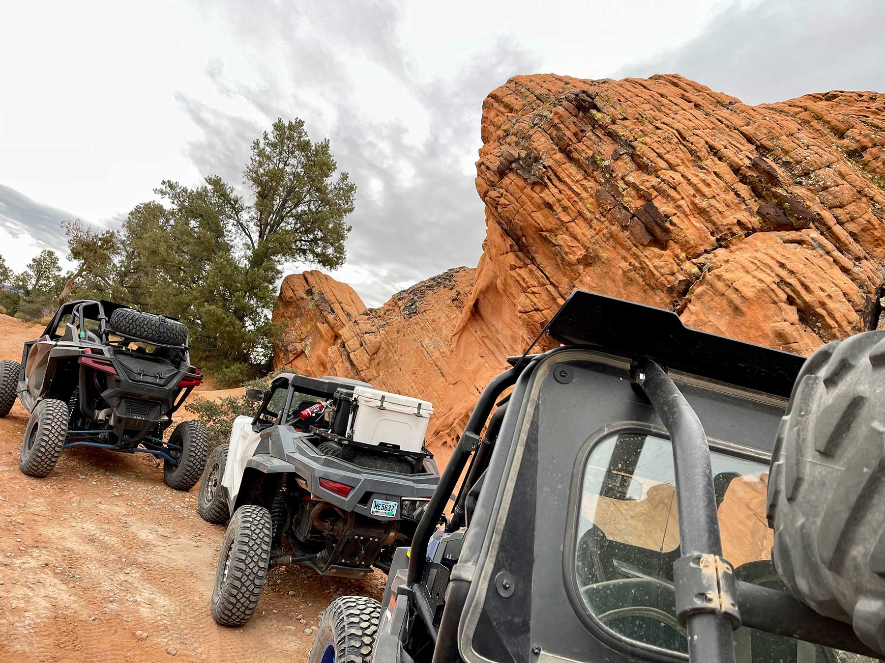
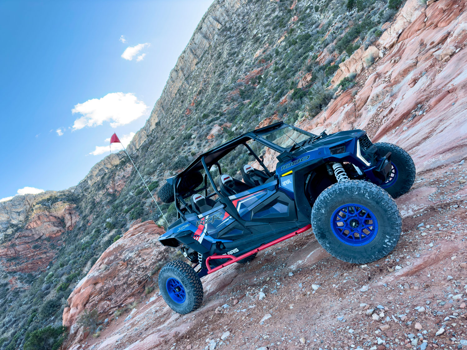
Mesquite is one of the rare towns that lets you ride street-legal off-road vehicles right through the community, which means you can stage at the edge of town and roll straight onto the trails instead of trailering everywhere. The city maintains scenic urban trails and a network of parks alongside that backcountry access, so it suits both casual riders and serious adventurers.
A few of the routes and destinations the area is built around:
- Toquop Wash — the main connector through this stretch of desert, named from a Paiute term for a wild tobacco-like plant. It merges with the Virgin River and links destinations including the historic Rock Houses, the Mormon Mountains, and the navigation arrow.
- Cabin Canyon Road — a genuine 4WD adventure climbing toward Grand Canyon-Parashant. Lower sections handle a moderate-clearance 2WD; the higher bedrock stretches do not. Conditions shift with the weather.
- Whitney Pocket — near Gold Butte's northern edge, where pale and rust-toned sandstone stands against gray peaks. A favorite of campers and ATV crowds; high clearance and 4x4 are strongly recommended past the staging area.
- Lower Toquop Road — ties northern and southern Mesquite together below Flat Top Mesa, but the northwest descent is prone to washing out after storms.
The town even has a dedicated Riverside OHV Staging Arena (680 Riverside Rd) for organizing rides. For broader trip planning, our recreation guide covers more of the region's routes.
History You Can Still Walk Up To
Mesquite's story is written into the landscape, and several pieces of it are still standing. The town grew up in the Virgin Valley among Latter-day Saint settlers who built along the river despite its habit of flooding — devastating events that repeatedly damaged homes and canals and forced the community to rebuild together.
- The 1880 Rock House — Mesquite's oldest standing structure, built from native rock by pioneers out of St. George, Utah, and later home to Dudley Leavitt's family. It sheltered residents through floods and hard times until 2003 and is now owned by the City of Mesquite.
- The Mesquite Navigation Arrow — one of the giant concrete airmail arrows from the 1920s. Starting in 1924, the postal service laid out arrows roughly every ten miles with light-tower beacons, guiding airmail pilots day and night across featureless terrain. Mesquite's marker was a critical waypoint on the route until radio navigation made the system obsolete by the late 1930s.
- The Civilian Conservation Corps legacy — During the Great Depression, the CCC left a deep mark here, building erosion control and water-retention works that boosted local agriculture. The Gold Butte Cistern, a CCC water-storage structure in the rugged terrain south of town, still stands as a tangible piece of that effort.
- V Day on the Mesa — the big whitewashed "V" on the hillside above I-15, kept up by Virgin Valley High School students and alumni for more than a hundred years.
The Virgin River & Trails Close to Town
The Virgin River is the reason Mesquite exists. It flows through three states before joining the Colorado, and along with the surrounding mountain aquifers it supplies the valley's water and supports a surprisingly diverse riparian ecosystem in the middle of the Mojave. Today it doubles as a recreation corridor — kayaking, fishing, and shaded riverside picnics, with hiking trails tracing its banks.
Within town and just beyond, Mesquite keeps a deep bench of parks and gathering spots, including Pioneer Park, Pulsipher Park, Veteran's Memorial Park, Old Mill Park (with adjacent pickleball courts), the Mesquite Regional Park trailhead near Lower Flat Top Drive, and a downtown Healing Garden and Labyrinth created by local author Mary Louise Shurtleff for quiet reflection. A second seven-circuit labyrinth sits out at the Sports & Event Complex, free and open to all.
Scenic Destinations Beyond the City
Use Mesquite as your launch point and the surrounding desert opens up fast. Just outside town near the Bunkerville Bridge, Gold Butte National Monument spreads across some 300,000 acres of red sandstone, canyons, ancient rock art, and ghost-town remnants — designated a monument in 2016. A few standouts within reach:
- Little Finland — intricate, wind-and-time-sculpted sandstone formations in the Gold Butte region.
- Falling Man Petroglyph and nearby Newspaper Rock — desert-varnish rock art etched into the canyon walls.
- Virgin Peak — at 8,074 feet, the high point of the Virgin Mountains, with a South Ridge route through unique geology and stands of yellow pine.
- Devil's Throat — a striking sinkhole more than 100 feet deep that draws geology enthusiasts.
- Gold Butte Townsite — the remains of a mining town that once held close to 2,000 fortune-seekers.
The Old Spanish Trail also threads the Mojave near Mesquite, the 19th-century route that once tied Santa Fe to Los Angeles.
Plan Your Visit
A few practical notes before you head out:
- Best season: The desert backcountry is far more pleasant in the cooler months. Summer heat is intense and serious in the open desert and slot canyons — many of the area's destinations are best visited from fall through spring.
- Vehicle: A lot of the named routes — Whitney Pocket, Cabin Canyon Road, Nickel Creek — really do want high clearance or 4x4. Roads change with the weather and can wash out after storms, so check conditions and don't trust a single grading to mean a road is in good shape.
- Fuel, water & supplies: Top off and stock up in Mesquite. Once you leave the I-15 corridor, services disappear and cell coverage gets spotty — the region's growth has outpaced its digital mapping in places.
- Respect the land: Some sites, like Firebrand Cave, have access restricted by the BLM out of respect for the Paiute people and for visitor safety. Honor closures and pack out what you pack in.
- Wider trips: Within a day's drive Mesquite reaches Zion, Bryce, and Grand Canyon National Parks, plus Lake Mead, Snow Canyon, and Valley of Fire — making it a strong hub for an Arizona Strip itinerary.
Questions about routing a trip through the region? Reach out via our contact page.
See the Region's Landmarks
From red-rock monuments to canyon overlooks, the icons of the Strip are close by.